
DJI Mavic 3M – Multispectral Mapping Drone for Precision Agriculture & Environmental Analysis
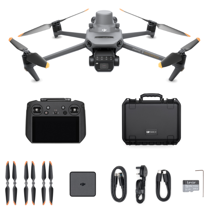
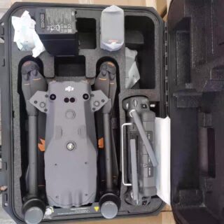
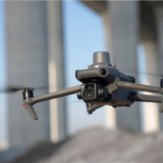
The DJI Mavic 3M is a professional multispectral drone designed for precision agriculture, plant health monitoring, and environmental research. Featuring a 20MP RGB camera, advanced multispectral sensor array, RTK support, and long endurance, it delivers accurate, high-efficiency data for smarter land management.
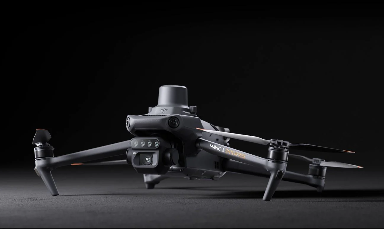
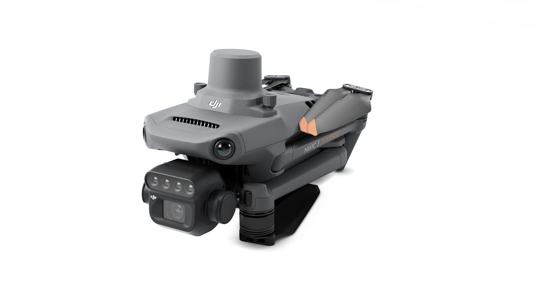
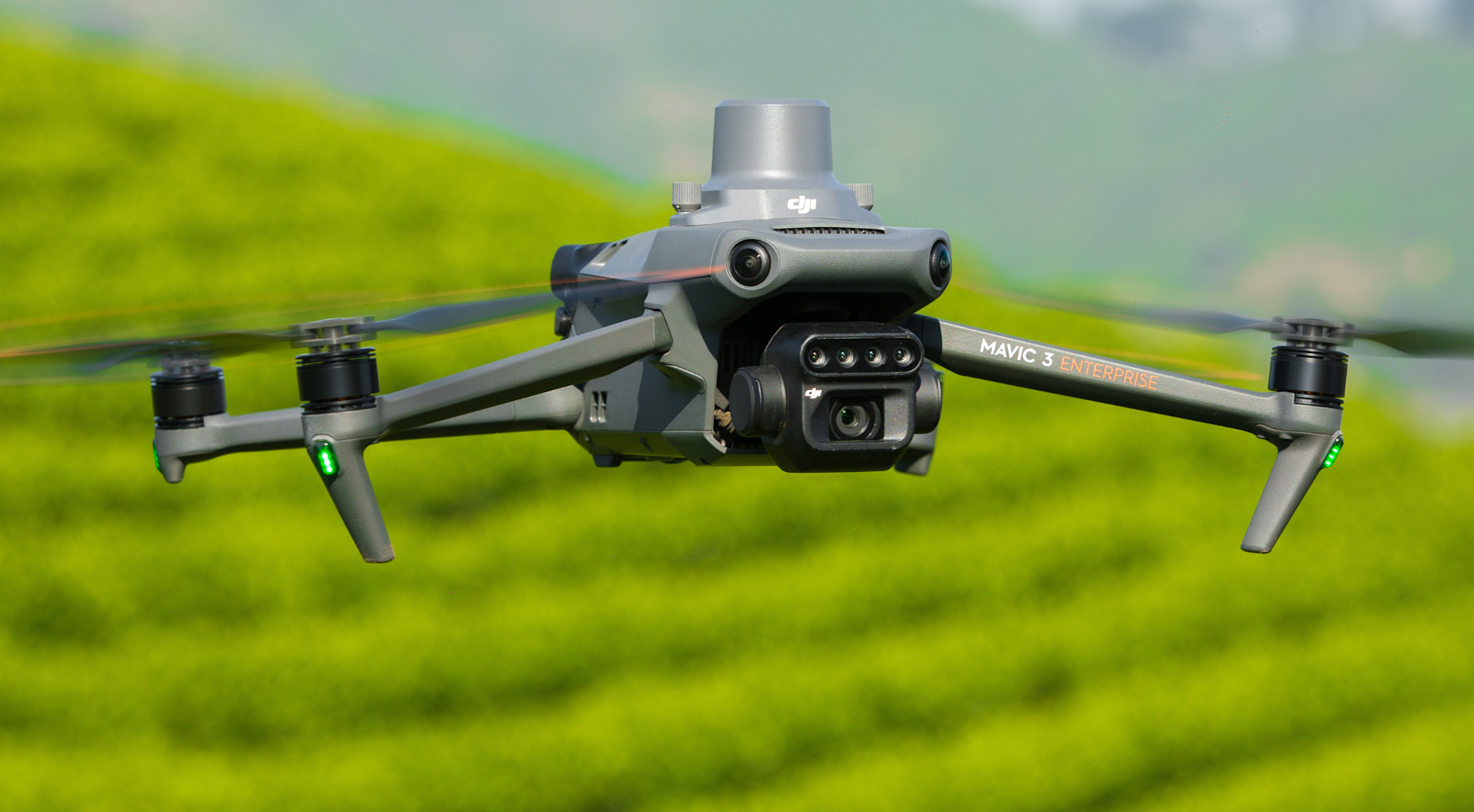
The DJI Mavic 3M (Multispectral) is built to empower professionals in agriculture, forestry, and environmental science with precise, data-rich aerial insights. With its integrated four-band multispectral camera and a 20MP RGB camera, the Mavic 3M captures detailed plant health data in real time, helping operators make informed decisions about crop management, soil analysis, and ecosystem monitoring.
Using advanced multispectral imaging—including Red, Green, Red Edge, and Near-Infrared—the Mavic 3M generates accurate vegetation indices such as NDVI, GNDVI, and NDRE. When paired with its optional RTK module, the drone achieves centimeter-level accuracy, ideal for mapping fields, orchards, and research plots.
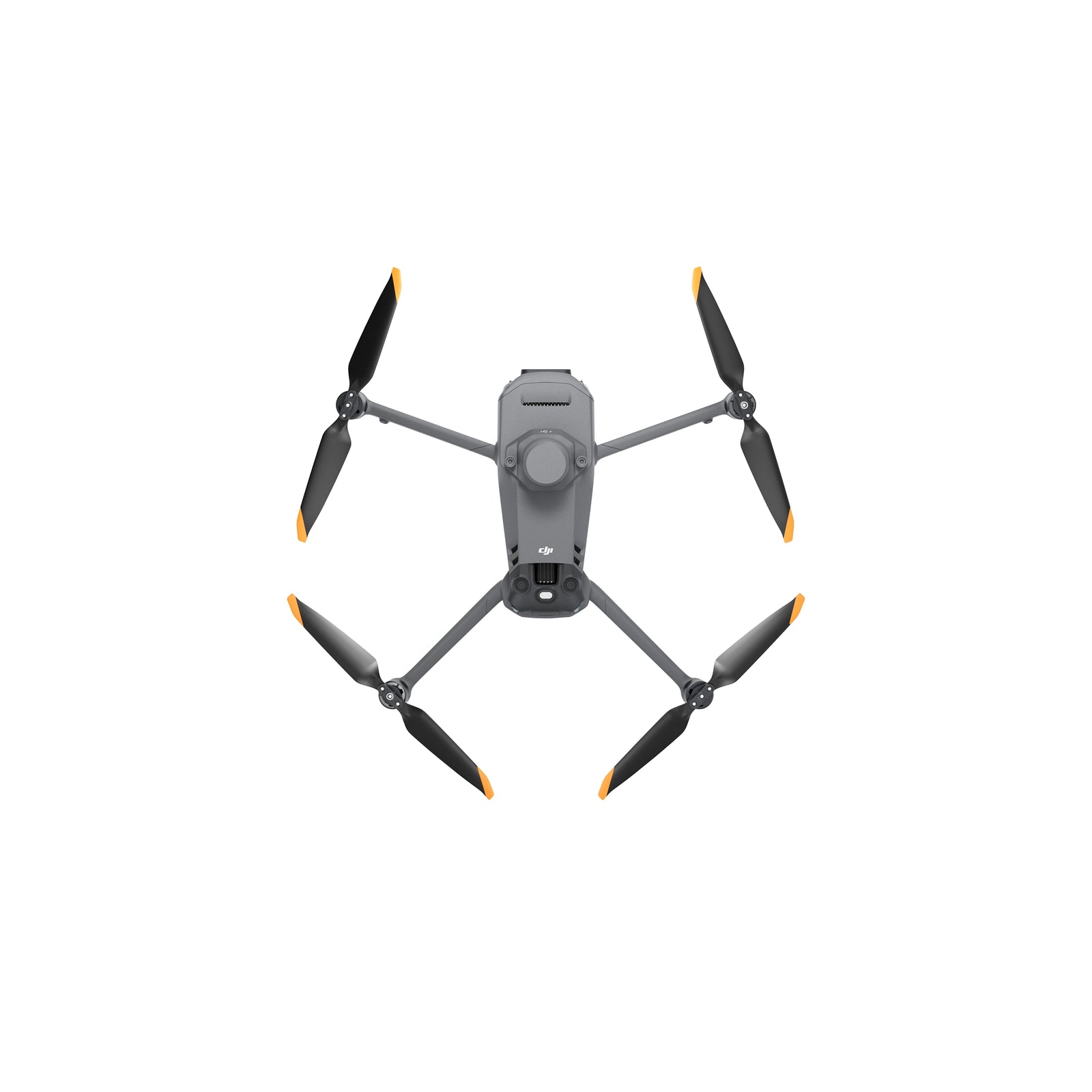
Featuring up to 43 minutes of flight time, omnidirectional obstacle sensing, and seamless integration with DJI Terra, SmartFarm, and third-party agritech platforms, the Mavic 3M is engineered for large-scale data collection with minimal effort. Lightweight, reliable, and extremely efficient, it’s the perfect tool for precision agriculture and environmental analysis workflows.
You may also like…
-
Read more
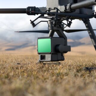
The Zenmuse L2 is an integrated LiDAR payload combining a high-accuracy laser scanner, a precision IMU, and a 20 MP 4/3-inch RGB camera. Built for professional surveying and 3D mapping, it delivers dense point clouds, multi-return capability, and reliable geospatial accuracy.
-
Read more
The DJI Matrice 30T is a rugged, high-performance drone that integrates wide-angle, zoom, and thermal cameras, plus a laser rangefinder. With up to 41 minutes of flight time, omnidirectional sensing, and IP-55 weather resistance, it’s ideal for inspections, emergency response, and advanced surveillance.
Related products
-
Read more
The DJI Mavic 3E is a compact enterprise drone designed for high-accuracy mapping, surveying, and inspection. Equipped with a 20MP mechanical-shutter camera, RTK support, long flight time, and advanced obstacle avoidance, it delivers fast, reliable data collection for professional field operations.
-
Read more
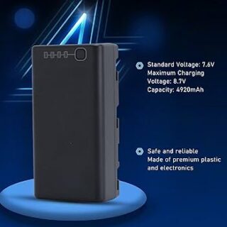
This 2S 4920mAh battery offers outstanding discharge performance in cold conditions and charges rapidly.
-
Add to cart
The DJI Matrice 4 Series Intelligent Flight Battery provides durable, dependable power for challenging enterprise missions, maximizing flight duration and operational efficiency.
-
Read more
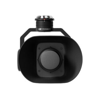
The Zenmuse V1 is a high-power aerial speaker designed for public safety, emergency response, search-and-rescue, and large-area communication. It delivers clear, long-distance audio with multiple broadcast modes and reliable performance in all conditions.
Reviews
There are no reviews yet.